Princeton archaeologists are using cutting-edge digital technologies to help reveal the ancient past
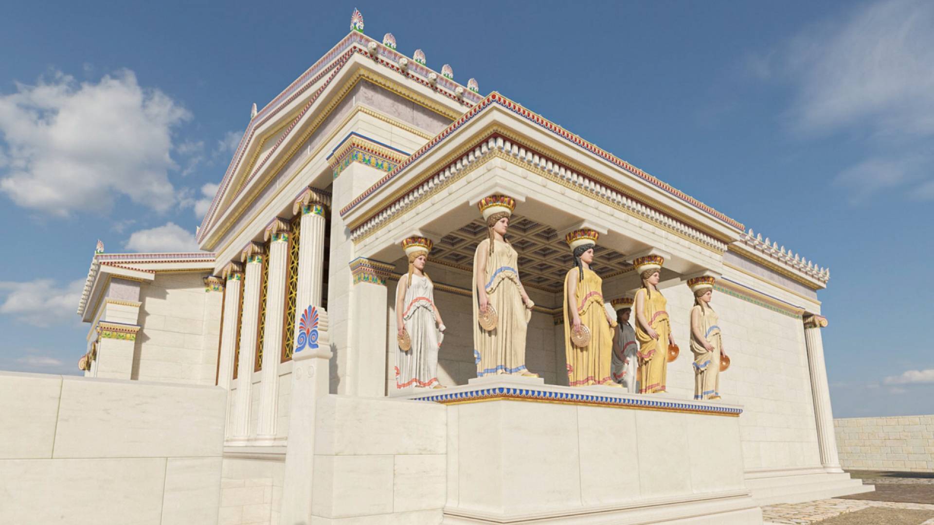
Digital tools are transforming the work of archaeologists in the field and in the classroom. This digital reconstruction of the Erechtheion (Temple of Athena Polias) is part of the virtual reality tour "Athens Reborn: Acropolis," which Princeton professor Samuel Holzman helped develop. Holzman uses this VR tool in the classroom.
Founded in 300 B.C., Antioch was one of the most important political and cultural centers of the Hellenistic East and one of the great metropolises of the Roman Empire. In the 1930s, Princeton archaeologists at Antioch tunneled trenches hither and thither for eight years based on ancient text references and hunches but never happened upon the Forum of Valens or the ancient imperial palace they set out to find.
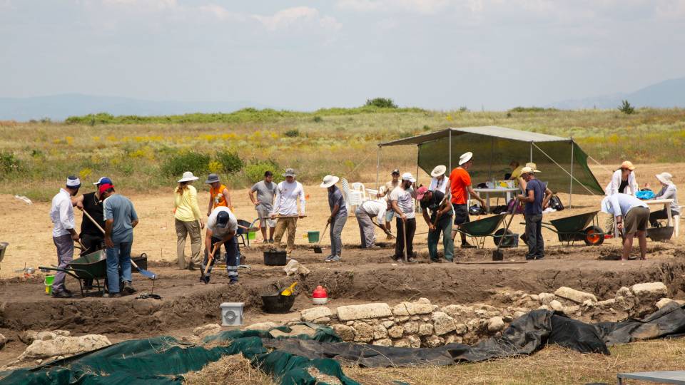
Fast forward to summer 2023. Silhouetted by the crimson sun swelling over the mountain range on Northern Greece’s Aegean coast, Nathan Arrington and his colleagues race the heat, huddling over their work with the pickaxes, trowels and brushes that have been emblematic of archaeology for over a century. But Arrington’s team also has a set of new additions in their toolbox that are revolutionizing the field: drone imaging, laser rangefinders, magnetometry and more.
"We still dig dirt with trowels,” said Arrington, professor of archaeology. “But the new digital tools allow us to be more accurate, collaborative and insightful both in and out of the field." In the field, digital technology saves immense amounts of time and limits fruitless digging. In the classroom, VR recreations help bring the past to life.
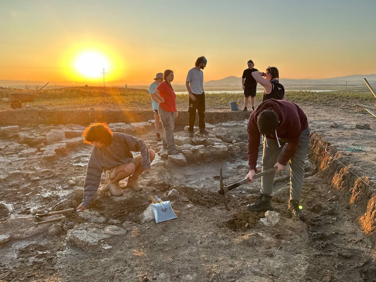
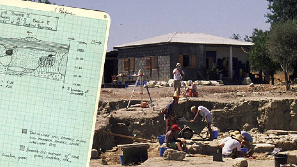
Princeton students excavate an ancient temple at the Molyvoti, Thrace, Archaeological Project (MTAP) in Greece last summer. Photo by Kirstin Ohrt ©Ephorate of Antiquities of Rhodope
As part of Princeton’s collaboration on the Molyvoti, Thrace, Archaeological Project with the American School of Classical Studies at Athens and the Ephorate of Antiquities of Rhodope (co-directors Domna Terzopoulou and Marina Tasaklaki), Arrington’s team carefully unearthed a temple with the help of remote-sensing technologies that work from the air and through the ground.
From the air, drone-mounted imaging methods helped detect potential site locations. Beneath the surface, the team used electrical resistivity to track fluctuations in underground electrical currents to help delineate where to dig, ultimately unearthing the only extramural (outside of the city proper) temple in Thrace to date.
Other digital tools employed in the field by Princeton archeologists and their peers around the world include these:
- LiDAR (light detection and ranging), similar to what police use to detect drivers who are speeding. When an area is covered in dense vegetation, LiDAR devices sends laser beams through brush and canopies to the earth’s surface and map topography based on the time it takes the beams to bounce back.
- Ground-penetrating radar (GPR), which sends radar pulses to render what lies below.
- Magnetometry, which allows archaeologists to map anomalies in the earth's magnetic field to identify the presence or absence of near-surface structures and artifacts.
-
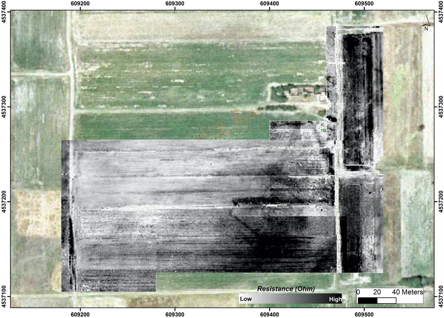
Before digging in Greece for MTAP, Princeton professor Nathan Arrington used electrical resistivity as part of a geophysical survey conducted by professor Grigorios Tsokas to create an image indicating the location of underground architecture and objects. Tsokas is a professor of applied geophysics at Aristotle University.
The dashboard to a dig
A 3-D “orthomosaic” stitches together aerial photographs captured by drone, employing photogrammetry software to remove distortion. It serves as a digital dashboard for the temple excavation.
Using iPads equipped with the iDig app, team members instantly record every artifact, architectural element, sketch, photograph, 3-D rendering, soil description or other observation. A laser rangefinder device called a total station measures the locations of these finds and data points and adds them to the dashboard.
The dashboard “lets you see how objects relate to each other and speeds up the research project dramatically because you can find your connections immediately,” said Arrington, who is also the director of the Program in Archaeology and specializes in ancient Greek material culture.
It also allows every team member — including the archaeobotanist, zooarchaeologist and numismatist, who are not as frequently present on the dig — to collaboratively interpret the data efficiently, informing the myriad decisions that steer an excavation.
Off the field, archaeology benefits from myriad other technologies. A ceramic profiler quickly illustrates the shapes of artifacts, 3-D printing visualizes and analyzes structures, and capture technology allows archeologists to archive 3-D images.
X-ray and CT scanning are used for non-invasive analysis of artifacts, helping conservators understand the internal structure and condition without causing damage.
Technology also helps archaeologists communicate findings, including educating the public. For example, using the full range of digital imaging tools, from orthomosaics to geographic information systems, archaeologists can render each layer of a site, then “peel” them away in a presentation to recreate the effect of excavating for viewers who are thousands of miles away.
Teaching with the digital tools
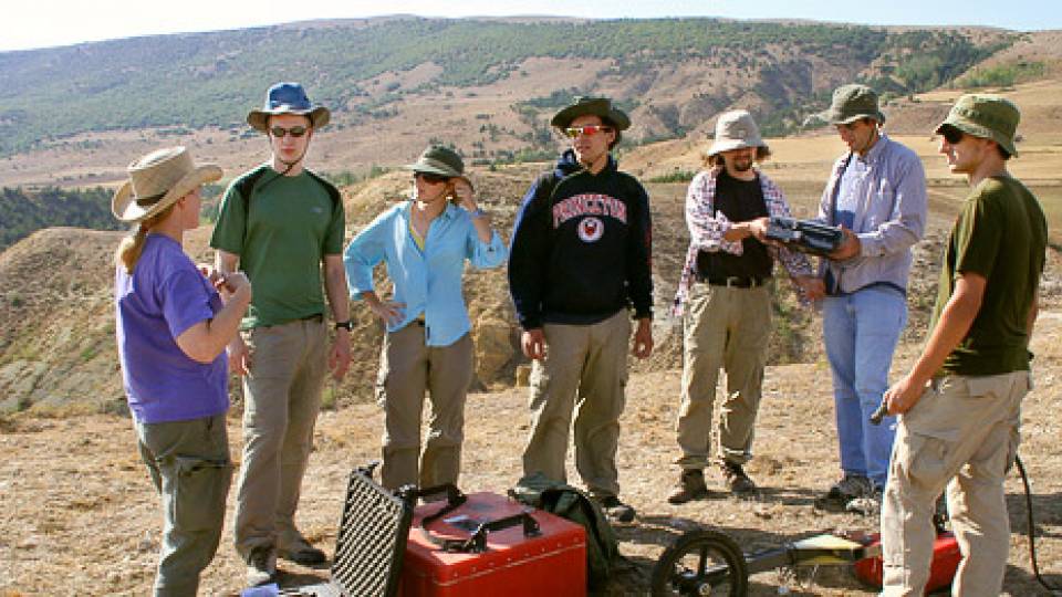
Every summer, Princeton graduate and undergraduate students are learning to use these tools, working side by side with professors and researchers on multiple digs. Frederik Simons, professor of geosciences and a member of the Executive Committee of the Program in Archaeology, has taught students at Princeton's excavations in Polis Chrysochous, Cyprus. "It is exhilarating to see the subsurface be illuminated by the latest technology — in the hands of Princeton students," he said.
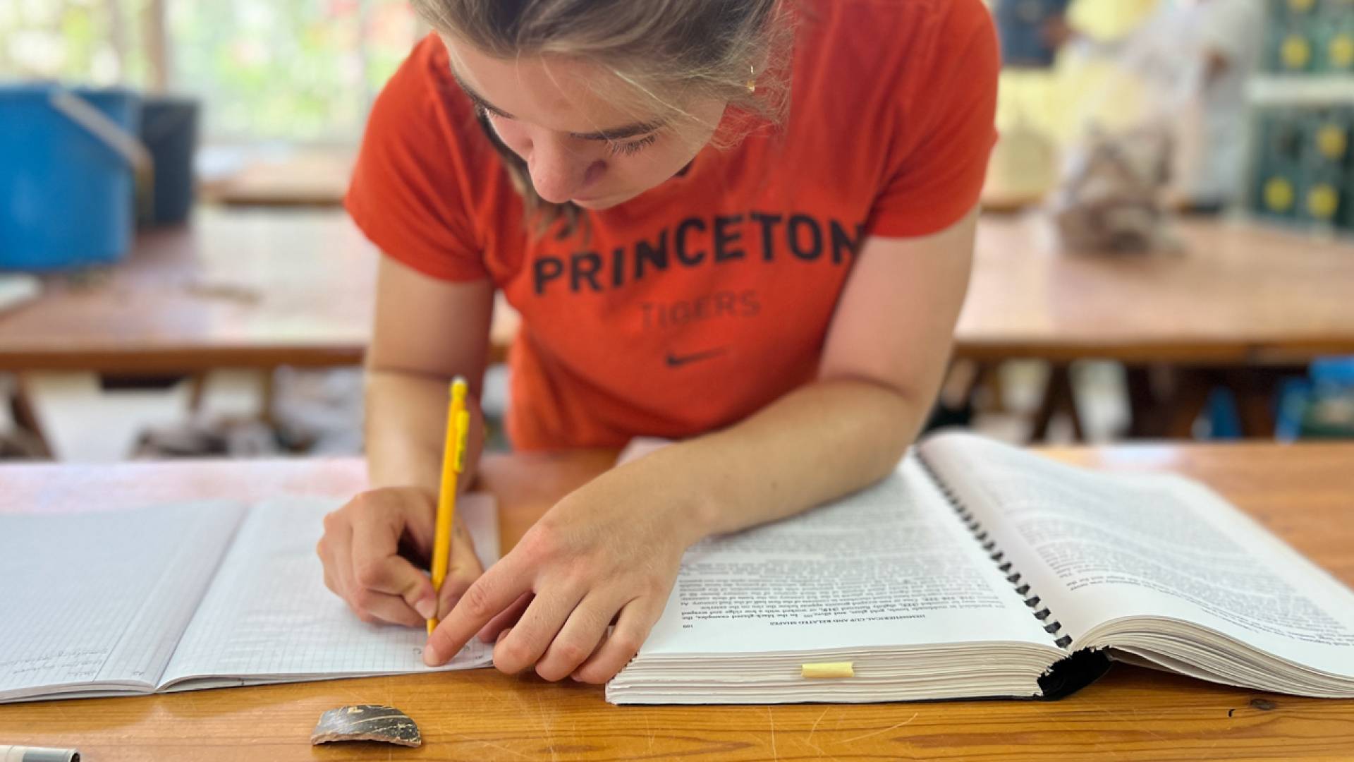
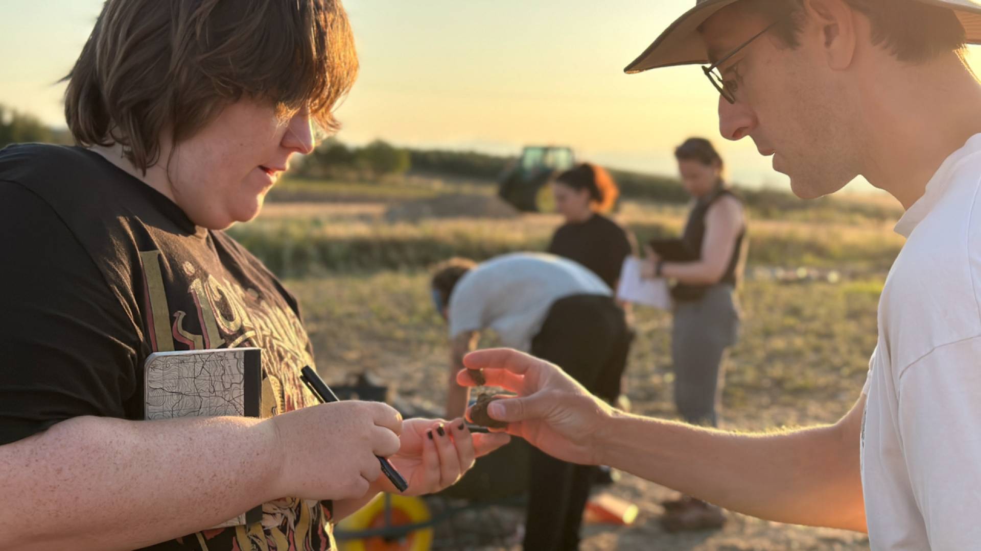
Elizabeth Polubinski ’25 records finds of the Molyvoti, Thrace, Archaeological Project (MTAP), Greece, in the traditional way as part of Nathan Arrington’s course “Archaeology in the Field.”
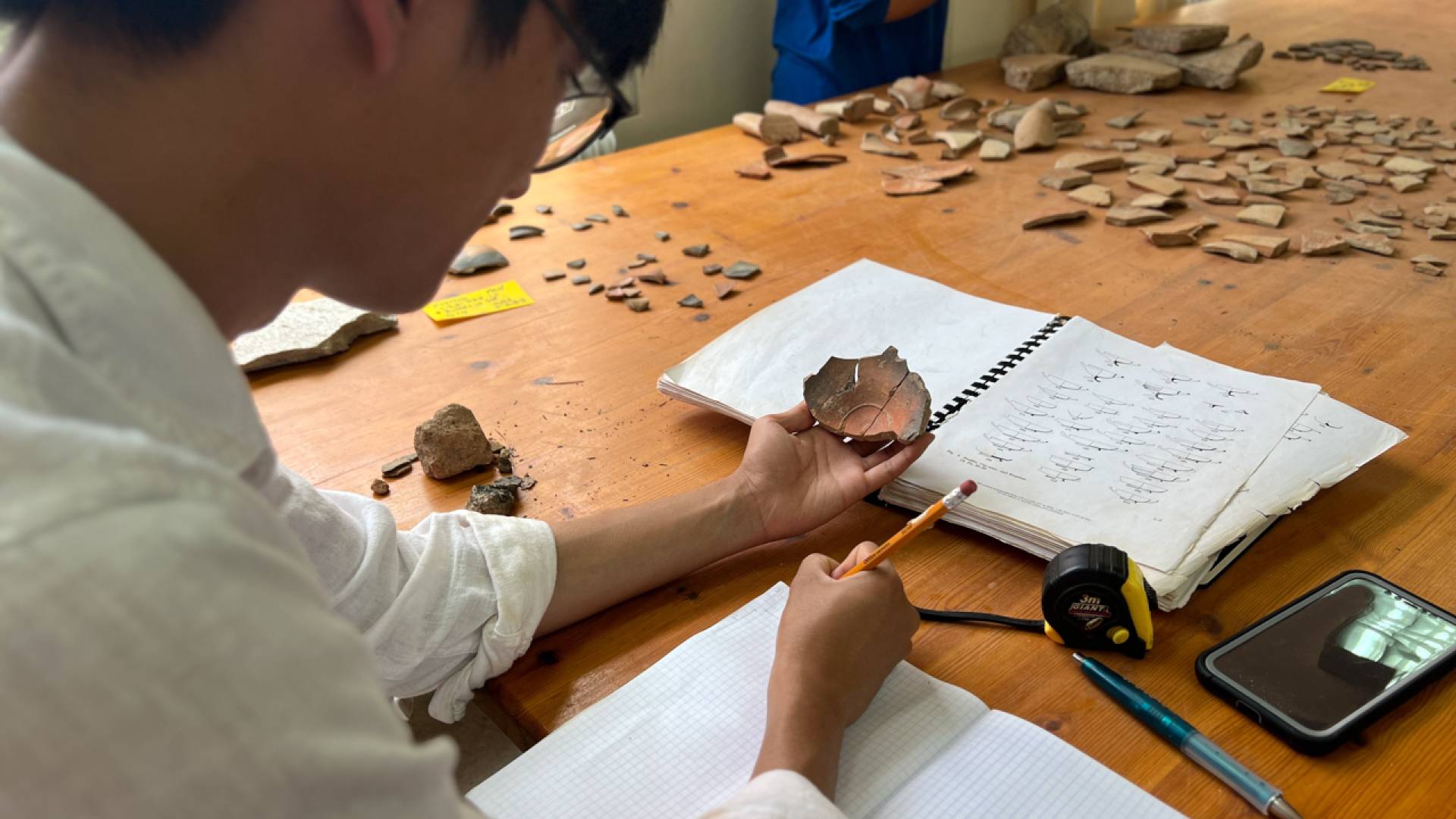
Kurt Lemai-Nguyen’25 records MTAP finds.
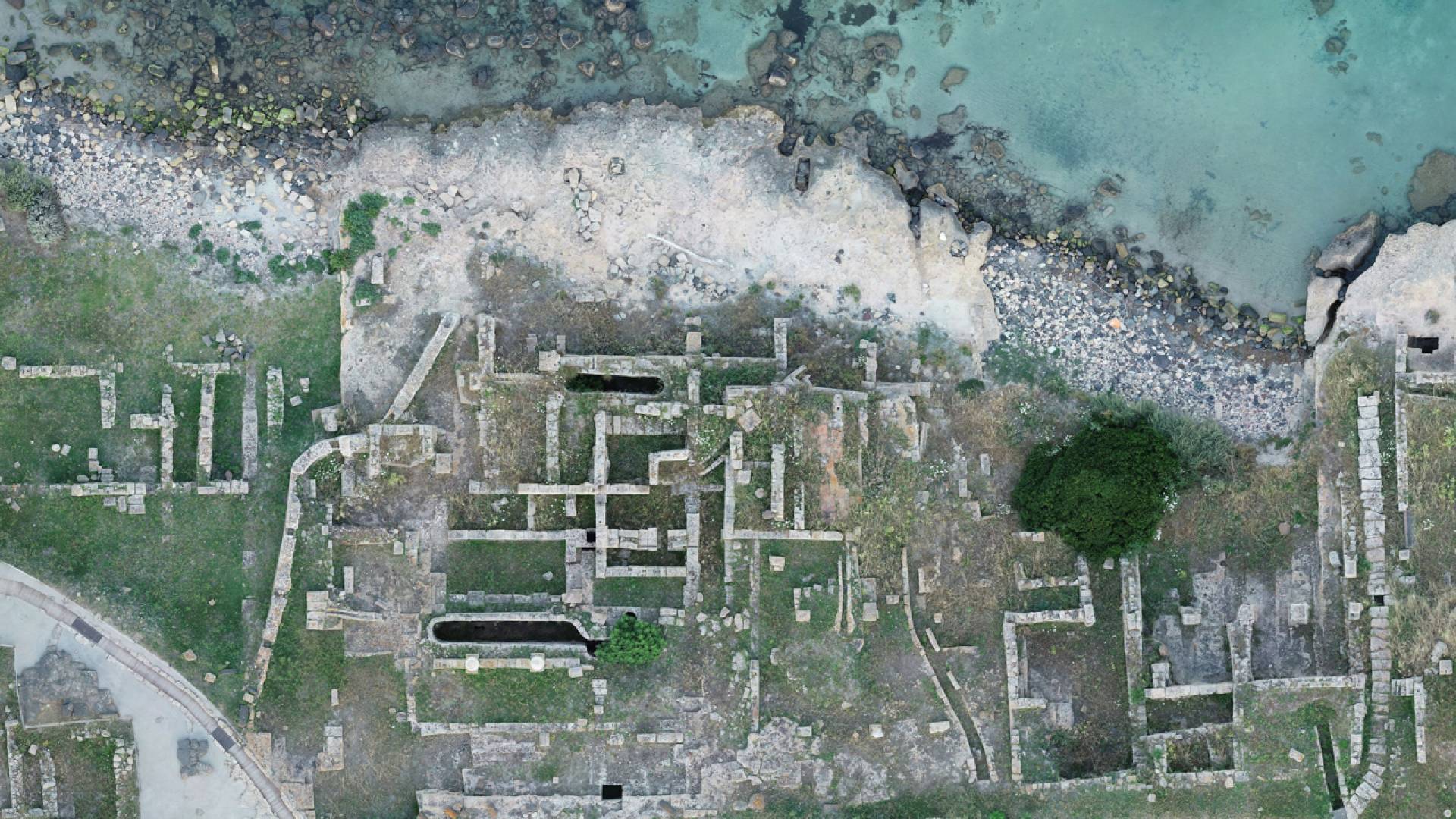
This orthomosaic was made using photogrammetry captured by drone of the archaeological site of Tharros, Sardinia.
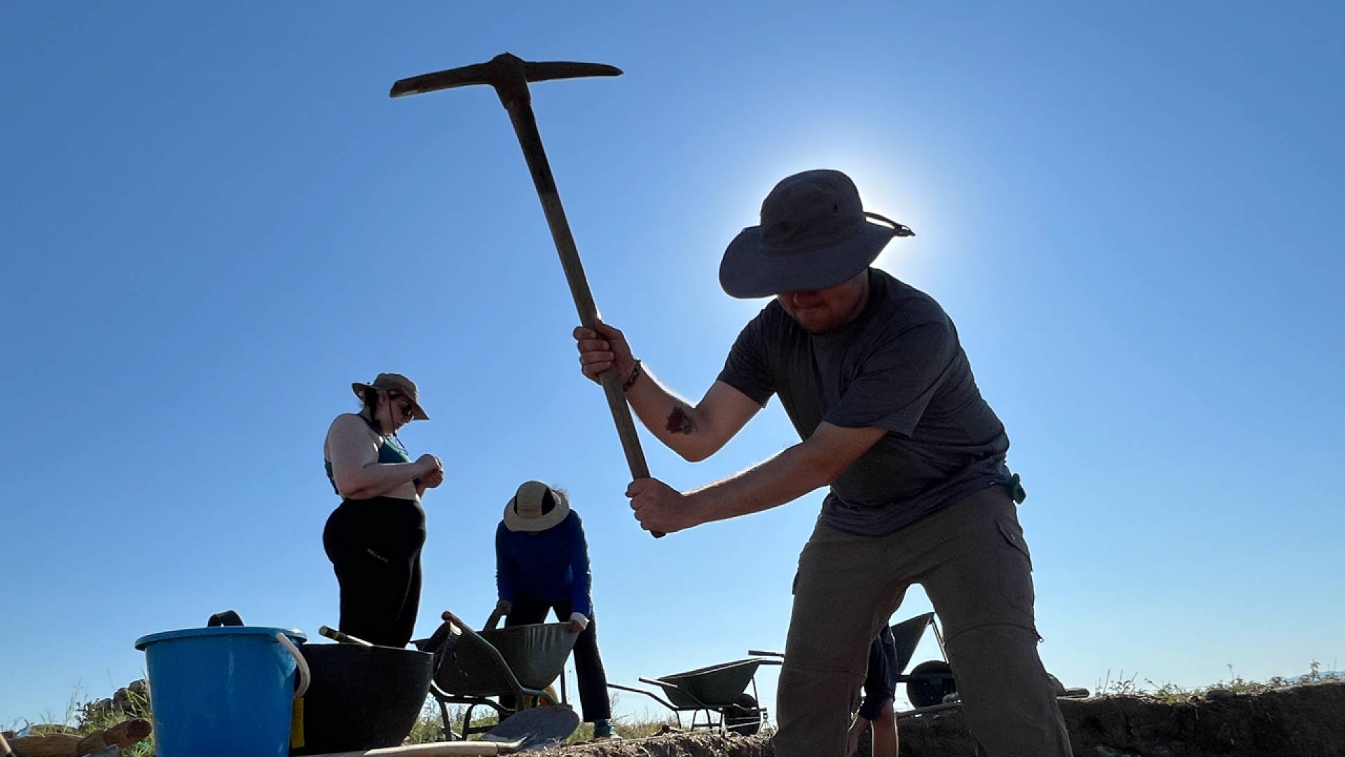
Ethan Spain ’26 uses a pickaxe to begin excavating a section of the Molyvoti, Thrace, Archaeological Project (MTAP) in Greece. It would later be identified as a temple.
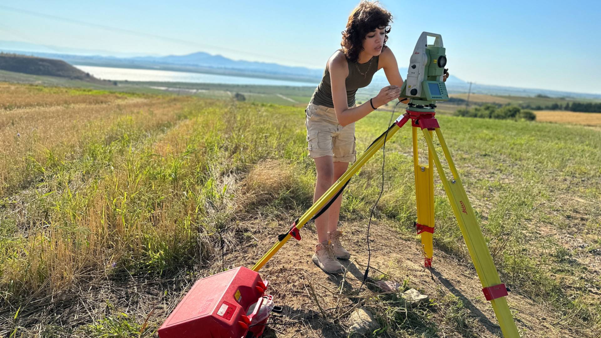
Grace Fausett ‘25 measures coordinates of a discovery at the Molyvoti, Thrace, Archaeological Project (MTAP), Greece, as part of Nathan Arrington’s course “Archaeology in the Field."
As Princeton undergraduates work on site last summer, Molly Schaub (left), a graduate student in classical studies at the University of Pennsylvania and an excavation supervisor, confers with Princeton professor Nathan Arrington at the Molyvoti, Thrace, Archaeological Project (MTAP) in Greece.
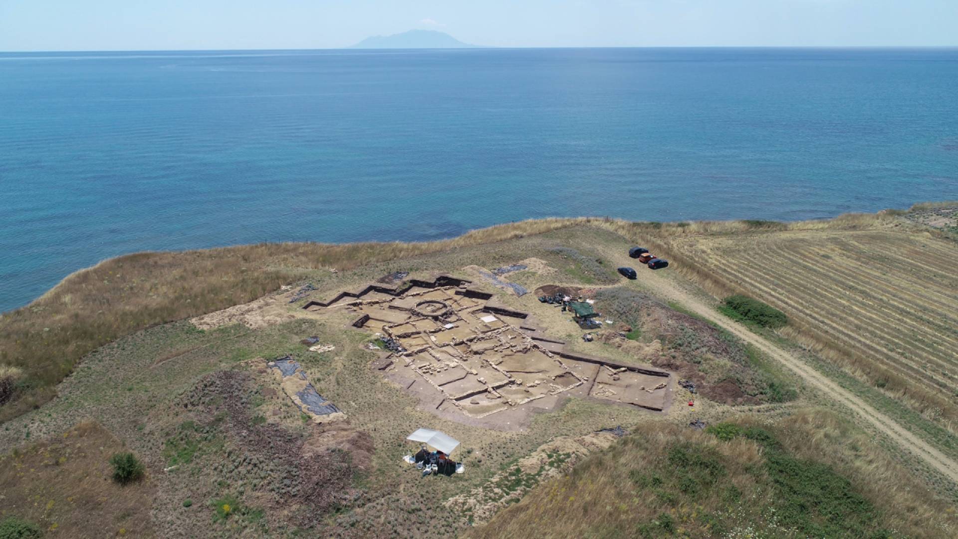
The Molyvoti, Thrace, Archaeological Project (MTAP) captured by drone.
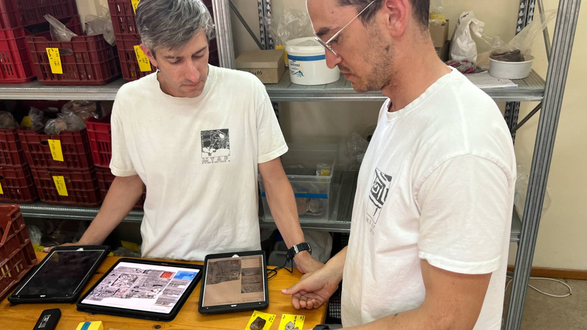
Professor Nathan Arrington (left) and graduate student Will Austin use iDig to examine and record pottery found at the Molyvoti, Thrace, Archaeological Project (MTAP) in Greece.
This extends to the classroom. Samuel Holzman, assistant professor of art and archaeology and the Stanley J. Seeger ’52 Center for Hellenic Studies, helped create the virtual reality tour “Athens Reborn: Acropolis” for the company Yorescape, which places viewers among fully reconstructed monuments on the Acropolis, and used it with his students in spring 2023.
“Professor Holzman contributed to its development, so we got to ask him questions that we would not have been able to ask anyone else,” said computer science major Morgan Teman '23.
Marrying technology to the human touch
“Technology provides the imaging and much of the data and can start to make sense of it,” Arrington said. Human experience allows archeologists to “conceive, comprehend and convey the multidimensionality” of human life in the past.
A crucial skill that archaeologists develop could be called an “occupational sixth sense”: smelling a burial site before unearthing it, shallowing up their trowel strokes or softening their brushing to avoid knocking a bone out of context, or sensing a change in soil based on color, texture and density to indicate a new stratigraphic layer.
Holzman said he would never have made his recent discovery of a 2,000-year-old Greek "trade secret" — the concealed arch — on the northern island of Samothrace had he relied on technology; he needed to see, feel, measure and draw the architectural components himself with a decidedly low-tech L-square, paper and pencil.
Hand-drawn sketches are informed by what archaeologists choose to emphasize or omit, he said, helping to render the subjectivity that scholarly research requires.
“Expressing degrees of uncertainty is essential to good scholarship,” said Holzman. “Different drawing styles—a polished computer rendering versus a hand-made sketch—can signal the difference between evidence and interpretation.” Hand-drawn sketches made on tablet devices marry the technology to the human touch.
Leigh Lieberman, digital project specialist in Art & Archaeology’s Visual Resources department, is a 2018 Princeton graduate alumna who moved Arrington’s database to Princeton from its original host server in Greece and works in a supervisory role on digs in Morgantina, Pompeii and Sardinia.
Lieberman sees archaeologists’ relationship with technology as a finely-tuned collaboration, “lifting the burden of mechanical tasks to allow archaeologists the mental space to do the harder thing.”
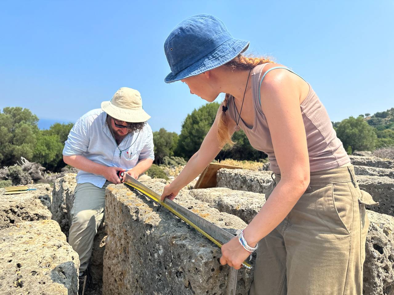
Princeton professor Samuel Holzman (left) and graduate student Eirini Spyropoulou use L-squares to measure a block of the ancient limestone wall at the American Excavations Samothrace, Greece.