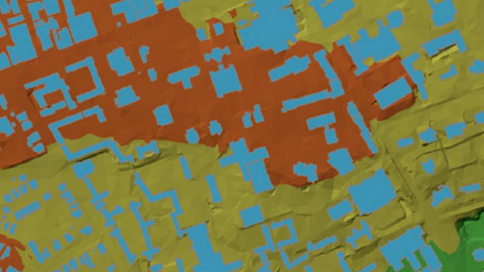
'Mapping Princeton' Share on Facebook Share on Twitter Share on LinkedIn Email Print By Nick Barberio on July 9, 2012, noon Mapping PrincetonPlay video: Many of the ways Princeton has been represented: from maps to 3-D modeling.