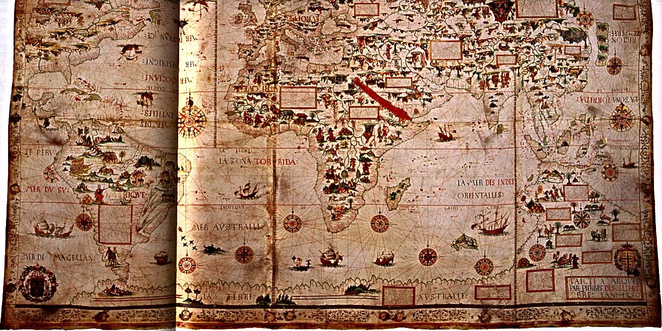
Portolan maps were generated by mariners who plotted coastlines along constant compass bearings. Even before the discovery of America they provided some of the most reliable information about geography.