Topography Creation
Digitizing Contours |
Land, Sea, Air
Digitizing Contours
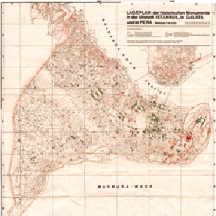
The first step in the creation of the topography of Constantinople was to
transfer the contour lines from the paper map we used, into the SoftDesk
module DTM, the software which actually built the surface that became
the land. This task would normally be accomplished through use of a
digitizing tablet. Due to our lack of a such a tablet, however, we had to
resort to more primitive means. The map was first scanned into
Photoshop and touched up to remove all extraneous features. Then
the entire map was broken up into small rectangular sections, each of which
was printed out onto a separate transparency. Finally, we
taped these transparencies to the computer screen, and essentially traced
the relevant contour lines with the mouse.
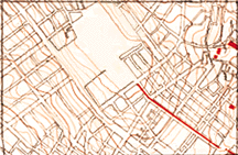
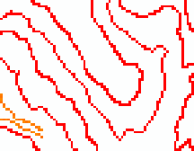
Paper Contours..........Digital Contours
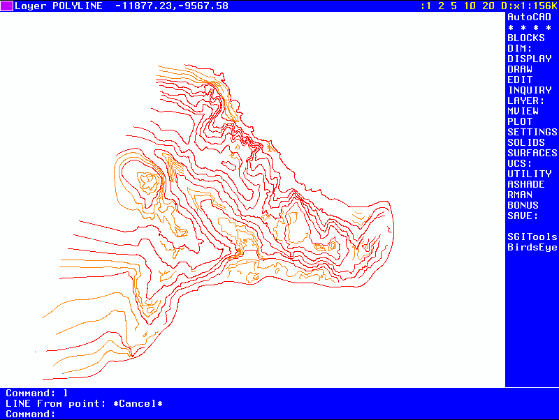
Once the contours were "digitized", we used the DTM module of the SoftDesk
software package to generate a surface based on the position and
elevation of the contours. The software provides options for
exaggerating the vertical scale of the topography. With
the vertical exaggeration set at 25, for example, one can clearly discern
the seven hills of Constantinople.
Land, Sea, Air
The surface generated in the DTM module was imported to 3dStudio in the
same manner as the building models. At this point, the landscape was
merely a
solid green mass
against a black background. Using the methods
described in the
Building Creation and Rendering
document, we prepared grass, ocean, and sky materials from photos taken
on site. The grass texture was applied directly to the land object. For
the ocean and sky, objects had to be created to carry the maps, a slab
for the ocean and a cylinder for the sky. These created very convincing
effects, and all that remained was to add a road network and trees.
Adding the roads was somewhat tricky. There was no way to build actual
roads out of objects in AutoCAD because there would have been no way to
force them to conform to the shape of the land. We decided that the best
method would be to apply the roads to the landscape as a map. In other
words, to simply "paste" a picture of the road network onto the existing
grass covered landscape. Because 3dStudio will only allow one pattern
per object, we had to create a copy of the entire landscape, and elevate
it a minute amount above the original land. This object then had the
roads applied to it, with everything that was not a roadway or plaza being
transparent to the underlying grass. Trees were added to the landscape
merely by affixing an image of a tree to a box, with the areas between
the branches made transparent.
Return to Home Page