Event details
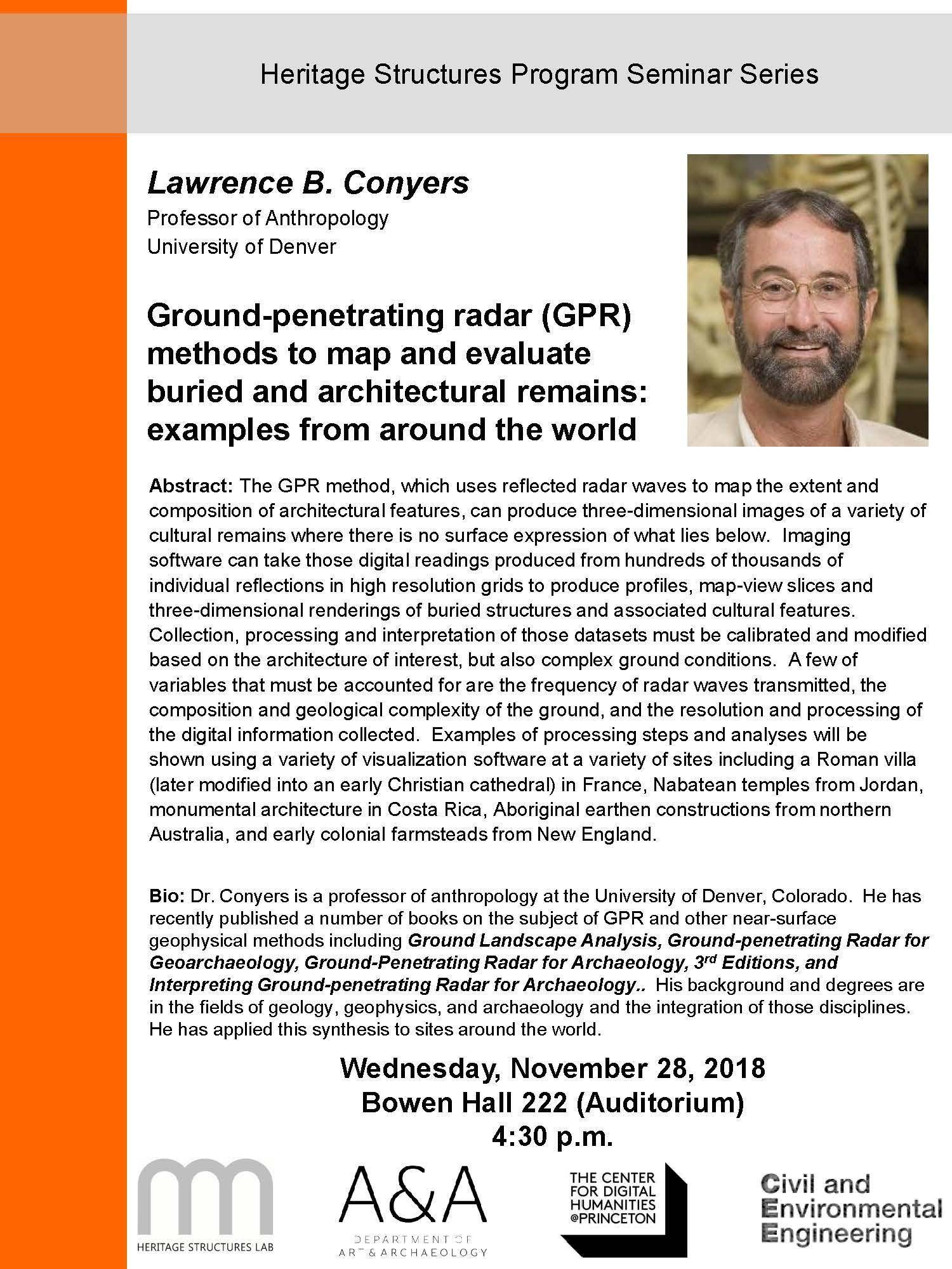
Ground-penetrating radar (GPR) methods to map and evaluate buried and architectural remains: examples from around the world

Abstract: The GPR method, which uses reflected radar waves to map the extent and composition of architectural features, can produce three-dimensional images of a variety of cultural remains where there is no surface expression of what lies below. Imaging software can take those digital readings produced from hundreds of thousands of individual reflections in high resolution grids to produce profiles, map-view slices and
three-dimensional renderings of buried structures and associated cultural features. Collection, processing and interpretation of those datasets must be calibrated and modified based on the architecture of interest, but also complex ground conditions. A few of variables that must be accounted for are the frequency of radar waves transmitted, the composition and geological complexity of the ground, and the resolution and processing of the digital information collected. Examples of processing steps and analyses will be shown using a variety of visualization software at a variety of sites including a Roman villa (later modified into an early Christian cathedral) in France, Nabatean temples from Jordan, monumental architecture in Costa Rica, Aboriginal earthen constructions from northern Australia, and early colonial farmsteads from New England.

University programs and activities are open to all eligible participants without regard to identity or other protected characteristics. Sponsorship of an event does not constitute institutional endorsement of external speakers or views presented.
View physical accessibility information for campus buildings and find accessible routes using the Princeton Campus Map app.